Land surveying is a critical process that involves measuring and mapping a plot of land to establish boundaries, topography, and other physical features. Surveying ensures clarity and accuracy when dealing with land ownership, construction, and legal matters. Whether you're buying, selling, or developing property, a professional land survey can help avoid disputes, legal issues, and costly mistakes.
.png)
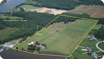
A boundary survey determines the legal property lines of a parcel of land. This survey is crucial for ensuring that you are aware of the exact boundaries of your property to prevent disputes, especially when buying, selling, or developing land.
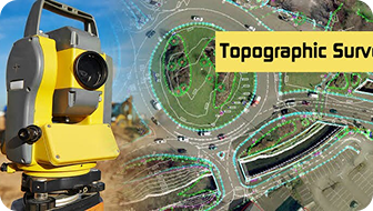
A topographic survey maps the natural and man-made features of the land, including elevation, vegetation, bodies of water, and infrastructure. This survey is commonly used for construction planning, development, and landscaping projects.
Construction surveys focus on ensuring that buildings and infrastructure are placed in the correct locations according to architectural plans. This includes marking building corners, roads, and utilities.
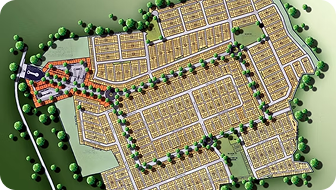
When large parcels of land are divided into smaller lots for sale or development, a subdivision survey is performed. It clearly outlines the new parcels, roadways, and easements.
An ALTA survey is a more detailed land survey used for commercial real estate transactions. It identifies property boundaries, easements, and encroachments, ensuring there are no legal issues affecting the property’s title.

Defines the precise boundaries of a property, marking the legal extent of land ownership with physical markers like fences, walls, or natural landmarks, and established through official surveys for legal and management clarity.

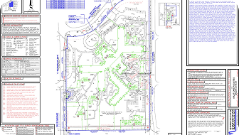
Visual representation of the surveyed area, detailing property lines, boundaries, geographic features, and adjacent properties to aid in land development, sales, and legal documentation.

Depicts changes in land height, aiding in construction, drainage design, landscaping, and land use planning to ensure proper development and environmental management.

Indicates legal permissions for specific land uses, such as utility access, roads, or pathways, highlighting restrictions, access rights, and ensuring compliance with property laws and community regulations.

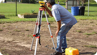
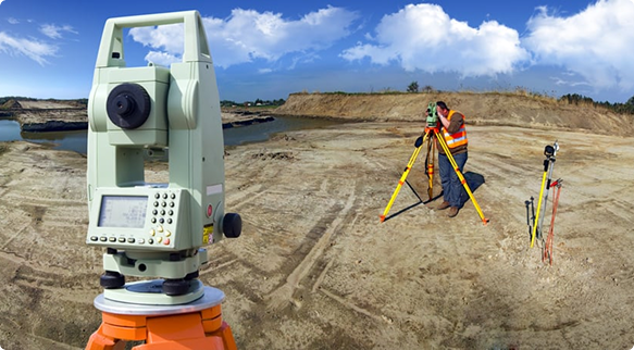
Measures angles and distances for precise land surveys, construction layouts, and topographic mapping.
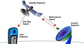
Provides accurate location data for mapping, georeferencing, and large-scale surveying.

Measures horizontal and vertical angles for accurate triangulation, construction alignment, and geodetic surveys.

Capture high-resolution aerial maps and topographic data for large-scale surveys, environmental studies, and infrastructure projects.

The process begins with a consultation where we discuss your project’s goals and requirements. We’ll assess the type of survey needed.


Before heading to the field, we conduct a detailed review of property records, deeds, and previous surveys.This helps us ensure we have accurate historical data


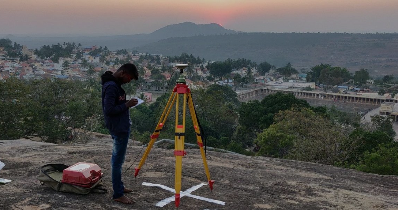
Surveyors use advanced technology, such as GPS systems, total stations, and drones, to gather precise data about the property. We carefully measure property lines.

Once the data is collected, we analyze it and create detailed maps or reports. This information may include boundary lines, topography, legal descriptions.
See How We Deliver Accurate, Reliable Land Surveys – Watch Our Process from Start to Finish!
Our team uses state-of-the-art equipment and technology to ensure highly accurate results. A precise survey is essential for preventing disputes and ensuring compliance with local regulations.
A certified land survey is legally recognized and can protect your investment. It ensures your property boundaries are clearly defined and prevents future legal issues, especially when dealing with property transactions, construction, or easements.
Our licensed surveyors have extensive knowledge of local land laws, surveying techniques, and regulations. With years of experience, we ensure that all surveys meet legal requirements and industry standards.

Expert interior & exterior design, tailored to your unique vision.